Borders
Borders organize the world by defining the territories under the authority of states. They appear as simple lines on maps, but they influence the movement of people, trade, security, and the identity of populations. Their location often results from a long history of negotiations, conquests, conflicts, and compromises.
Defining the Territory of States
A state exercises authority over a defined territory, a population, and a set of institutions. A border normally indicates where that authority ends and where the authority of another state begins.
It helps determine which laws apply, which government administers the territory, and which forces are responsible for its defence. It also plays a role in taxation, the control of goods, and the management of natural resources.
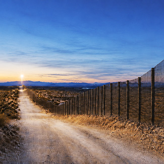
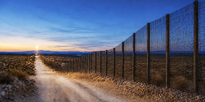
Borders are not always visible in the landscape. Some are marked by boundary stones, fences, roads, or checkpoints. Others cross forests, deserts, or uninhabited regions without any obvious sign indicating their location.
Natural Borders
Some borders follow physical features of the landscape. Rivers, lakes, mountains, and deserts can form easily recognizable divisions.
A mountain range often creates an obstacle to travel and may serve as a boundary between two territories. A river also creates an apparent separation, even though its course may change over time.
The term “natural border” should nevertheless be used with caution. A geographic feature becomes a border only when political authorities decide to use it as one. Populations may live on both sides of the same river or share the same mountain region.
Resources located in these areas can also cause disagreements. When a river changes course, it must be determined whether the border moves with it or remains in its previous location.
Artificial Boundaries
Many borders do not follow any natural feature. They take the form of straight lines or geometric routes established according to coordinates.
These boundaries were often created by treaties, diplomatic agreements, or colonial decisions. In some cases, foreign powers divided territories without considering the languages, peoples, or economic networks already present.
An artificial border is not necessarily less legitimate than a natural one. All borders ultimately result from human decisions. However, a boundary that divides a community or brings rival groups together within the same state may create lasting tensions.
Wars, Treaties, and Colonization
Borders have often changed as a result of conflict. A military victory could allow a state to annex a region, while defeat could lead to the loss of territory.
Peace treaties are frequently used to establish new boundaries. They may recognize the independence of a country, divide a region, or create an area intended to separate two adversaries.
Colonization also profoundly shaped the world map. Territories were divided according to the interests of colonial powers. After independence, many new states kept these borders in order to avoid a multiplication of territorial conflicts.
These decisions provided a degree of stability, but they sometimes preserved divisions that did not reflect the cultural or historical realities of local populations.
Land, Maritime, and Air Borders
Borders do not apply only to land. States also exercise rights over certain maritime areas. These zones affect fishing, navigation, resource development, and access to ports.
Maritime boundaries are often more difficult to perceive because they cannot be marked in the same way as land borders. They are generally established according to distance rules and agreements between neighbouring countries.
The airspace above a territory is also under the authority of the state. Foreign aircraft must follow air traffic regulations and obtain the required authorization.
Crossing from One Country to Another
Crossing a border may require a passport, a visa, or other documents. Officials verify travellers’ identities and ensure that they meet the conditions for entry.
Goods may also be inspected. Customs services collect certain duties, monitor prohibited products, and attempt to prevent smuggling.
Not all borders are controlled with the same intensity. Some agreements allow relatively free movement between several countries. Other borders are heavily monitored because of political tensions, conflicts, or security concerns.
Divided Populations
A border can divide a city, a region, or a people. Families, linguistic groups, or cultural communities may find themselves spread across several states.
This separation can affect language, education, trade, and daily travel. In some regions, residents regularly cross the border to work, study, or visit relatives.
Elsewhere, crossing is difficult or prohibited. Border populations are then especially affected by political decisions made in capitals that may be very far away.
Disputed Borders
Not all borders are recognized in the same way by the states involved. Some countries claim the same territory or interpret an old treaty differently.
These disagreements may concern a few kilometres, an island, a resource-rich region, or a territory considered essential to national identity. They may be resolved through negotiation, international arbitration, or a judicial decision.
Some areas are demilitarized to reduce the risk of confrontation. Others remain under military surveillance for long periods.
Lines That Change
Borders are not permanent. New states may emerge, countries may reunify, and territories may change sovereignty.
Changing a border is rarely simple, however. Every adjustment affects residents, resources, institutions, and national symbols.
Borders are therefore both tools of organization and legacies of history. They separate states, but they also create meeting places where languages, cultures, and trade interact every day.
Quiz questions preview
-
Which of these countries borders Burma?
Bhutan | Singapore | Thailand | Malaysia -
Which of these countries borders Russia?
Moldova | Czechia | Sweden | Finland -
Which of these countries borders the France?
Denmark | Iceland | Luxembourg | Sweden -
Which of these countries borders Germany?
United Kingdom | Switzerland | San Marino | Norway -
Which of these countries borders Mali?
Ghana | Togo | Benin | Niger